
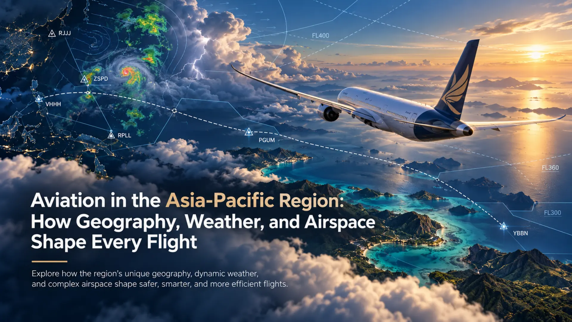
The Asia-Pacific region contains some of the most geographically diverse aviation environments in the world, stretching across extensive ocean areas, island chains, continental landmasses, and mountainous landscapes. These geographical characteristics have a direct influence on how aircraft routes are planned and how airports support passenger and cargo transportation. Aviation operations in the region range from short journeys between neighboring islands to long-distance international flights connecting major cities. Each type of journey introduces different considerations involving aircraft performance, weather, fuel planning, navigation, and air traffic management. Understanding these factors provides a clearer picture of why aviation procedures must account for local conditions rather than relying on a single approach to every flight.
Modern aviation depends on a combination of international standards, national regulations, airport infrastructure, and technical systems that allow aircraft to operate across national boundaries. Although the fundamental principles of flight remain consistent, the operational environment can vary significantly between different parts of the region. A flight over the Australian continent presents different geographical considerations from one crossing the tropical islands of Southeast Asia or the mountainous terrain of New Zealand. Weather systems, airport characteristics, available navigation services, and airspace organization all affect the planning process. Examining these differences reveals how aviation adapts to the physical and operational challenges of connecting distant locations.
How Island Geography Influences Air Routes and Connectivity
Geography is one of the most important factors influencing aviation networks throughout the Asia-Pacific region. Countries such as Indonesia and the Philippines consist of thousands of islands, many of which are separated by channels, seas, or substantial distances. Air transportation can provide connections between locations where road or rail infrastructure cannot offer a direct continuous route. The geographical arrangement of islands also creates demand for regional airports that serve communities outside major metropolitan areas. As a result, aviation networks often contain a mixture of heavily traveled routes and smaller connections serving less densely populated destinations. Aircraft selection and route planning must account for runway characteristics, passenger or cargo demand, distance, and available infrastructure.
Operating between islands introduces considerations that differ from those encountered on routes entirely over land. Aircraft may travel across stretches of water where suitable diversion airports are limited or separated by considerable distances. Flight planning therefore requires attention to aircraft capability, fuel reserves, weather forecasts, and relevant operational requirements. Commercial operators must comply with applicable regulations governing their aircraft and the routes they intend to fly. These requirements vary according to aircraft type, operating authority, and the circumstances of the flight. The geography of island regions illustrates why airport availability and route structure are important elements of aviation planning.
Weather Conditions and Their Effects on Flight Operations
Weather affects aviation by influencing visibility, wind conditions, aircraft performance, and the safety of different phases of flight. Across the Asia-Pacific region, atmospheric conditions vary considerably because of differences in latitude, elevation, seasonal wind patterns, and proximity to large bodies of water. Tropical locations may experience intense rainfall and thunderstorms, while temperate regions can encounter frontal systems, low cloud, and strong winds. Seasonal monsoon patterns influence rainfall and atmospheric circulation across many parts of South and Southeast Asia. Tropical cyclones also present significant hazards in affected areas of the western Pacific, Indian Ocean, and surrounding waters. These weather systems demonstrate why reliable meteorological information is essential for aviation decision-making.
Pilots and flight dispatchers use several types of meteorological information when preparing and conducting flights. A METAR is a standardized aviation weather report that describes observed conditions at an aerodrome, including information such as wind, visibility, cloud, temperature, and atmospheric pressure. A TAF provides a forecast of expected meteorological conditions at an airport during a specified period. These reports help aviation personnel assess departure conditions, destination suitability, and potential operational limitations. Weather information must be interpreted alongside the aircraft’s capabilities, available approaches, and applicable operating rules. No single weather report can describe every atmospheric condition that an aircraft may encounter along an entire route.
Navigation Systems and International Aviation Standards
Aircraft navigation depends on the ability to determine position, maintain an intended course, and follow the procedures associated with the airspace being used. Historically, pilots relied extensively on visual landmarks, celestial navigation, and ground-based radio-navigation aids. Modern commercial aviation makes substantial use of satellite navigation, flight management systems, inertial reference technology, and established air traffic service procedures. The specific combination of navigation equipment depends on the aircraft and the requirements of the route. International standards help support consistent aviation operations as aircraft travel between countries with different administrative and regulatory systems. These standards are particularly important in regions where international routes connect numerous national airspaces.
Airport identification systems provide a familiar example of international aviation standardization. The International Air Transport Association generally uses three-letter airport codes for commercial and passenger-facing purposes, while the International Civil Aviation Organization uses four-letter location indicators for aeronautical purposes. Singapore Changi Airport, for example, uses the IATA code SIN and the ICAO indicator WSSS. These identifiers represent the same airport but serve different functions within aviation and transportation systems. Navigation databases also contain information about waypoints, airways, procedures, and other elements used during flight planning. Maintaining accurate navigation information is essential because operational procedures and published route structures can change over time.
The Challenges of Airports, Terrain, and Regional Infrastructure
Airport operations vary significantly according to geographical location, runway design, surrounding terrain, and available infrastructure. Large international airports generally support extensive commercial activity through multiple operational facilities and specialized ground services. Smaller regional airports may operate with more limited infrastructure, different runway characteristics, or fewer available approach procedures. High terrain near an airport can influence departure and arrival routes because aircraft must maintain adequate clearance from surrounding obstacles. Coastal airports may also experience local wind patterns affected by differences between land and sea temperatures. These conditions make airport-specific information an important part of flight preparation.
Temperature and elevation are particularly important considerations because they affect aircraft performance. As air density decreases, aircraft generally experience changes in aerodynamic and engine performance that can influence takeoff and climb capability. High temperatures and elevated airports can therefore create more demanding operating conditions, especially when runway length or aircraft weight becomes a limiting factor. Wind direction and strength also influence runway selection, ground speed, and the performance required during departure and landing. Flight crews evaluate these factors using aircraft performance information and the procedures applicable to their operation. Understanding the relationship between terrain, atmosphere, and aircraft capability helps explain why airport operations differ between locations.
Air Traffic Management Across Large Geographical Areas
Air traffic management provides a framework for organizing aircraft movements and supporting the safe and orderly flow of traffic. In busy terminal areas, controllers may coordinate aircraft arriving at and departing from airports with significant traffic volumes. En-route control services manage aircraft traveling between terminal areas, while oceanic operations may require different surveillance, communication, and separation arrangements. The available methods depend on the airspace, installed infrastructure, and applicable air traffic service procedures. In the Asia-Pacific region, the geographical scale of oceanic and remote-area routes makes long-distance communication and navigation particularly important. These conditions demonstrate why air traffic services cannot rely on identical infrastructure in every location.
Technology has expanded the methods available for communication, navigation, and aircraft surveillance. Automatic Dependent Surveillance–Broadcast, commonly called ADS-B, allows suitably equipped aircraft to broadcast information such as their position and identification for use by compatible receiving systems. Satellite-based communications and surveillance can support aircraft operations in areas where ground-based infrastructure is limited. Nevertheless, operational capabilities vary between countries, airspace regions, aircraft, and service providers. Air traffic management continues to depend on the combination of technical equipment, established procedures, and human decision-making. Understanding these systems provides useful context for how international flights move through different portions of controlled airspace.
What Flight Simulation Can Teach About Real Aviation
Flight simulation provides a practical way to explore selected aviation concepts within a computer-generated environment. A simulated flight can demonstrate how route distance, aircraft speed, wind, altitude, and navigation settings affect the progress of an aircraft. More detailed software can also represent selected aircraft systems, instrument displays, and flight management functions. These features allow users to observe relationships between different stages of an operation without conducting an actual flight. Simulation can be particularly useful for studying the sequence of flight planning, departure, navigation, approach, and landing. However, the technical accuracy of these activities depends on the simulator and the quality of its underlying models.
An important limitation is that recreational flight simulation does not automatically reproduce the physical sensations, risks, or regulatory requirements of real aircraft operations. Desktop equipment cannot fully replicate the acceleration, control forces, environmental conditions, and operational pressures experienced in actual flight. Certified aviation training devices are subject to standards that distinguish them from ordinary entertainment software. For general enthusiasts, simulation is best understood as a tool for exploration, recreation, and the study of aviation concepts. Its educational value increases when simulated procedures are compared with reliable technical information and established aviation principles. By recognizing both its strengths and limitations, users can develop a more informed understanding of aircraft operations and the aviation environment.
The Importance of Understanding Regional Aviation Conditions
Aviation across the Asia-Pacific region reflects the relationship between physical geography, technological development, and operational requirements. Airports and air routes do not operate in isolation because every journey depends on a wider system of navigation, meteorological information, ground facilities, and air traffic services. The region’s combination of major population centers, distant islands, mountainous areas, and extensive ocean routes creates varied transportation challenges. These conditions influence the types of aircraft used, the infrastructure required, and the procedures involved in connecting different destinations. Studying regional aviation therefore offers insight into both the technical and geographical aspects of air transportation.
The principles underlying aviation planning remain important regardless of whether they are examined through professional aviation education, historical research, or recreational simulation. Weather interpretation, accurate navigation, aircraft performance, and airspace awareness each contribute to an understanding of how flights are conducted. International standards provide a common foundation, while local conditions explain many of the differences between individual routes and airports. Flight simulation offers an accessible means of observing some of these concepts, although it cannot replace approved training or operational experience. A broader appreciation of aviation comes from understanding how the different components of a flight interact within real geographical and regulatory environments. The Asia-Pacific region provides a particularly extensive range of examples because of its diverse landscapes, climates, transportation networks, and aviation infrastructure.